Sardina del Norte, Gran Canaria: Beach or Harbour?
Plan a beach day at Sardina del Norte in Gáldar, Gran Canaria: the GC-2 turn-off, the pebble cove and tidal pools, snorkelling and quiet corners.
On this page
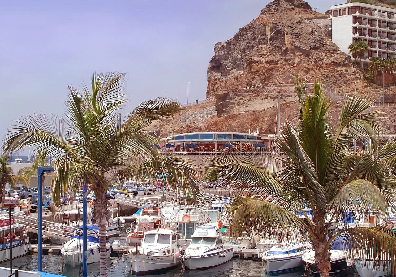
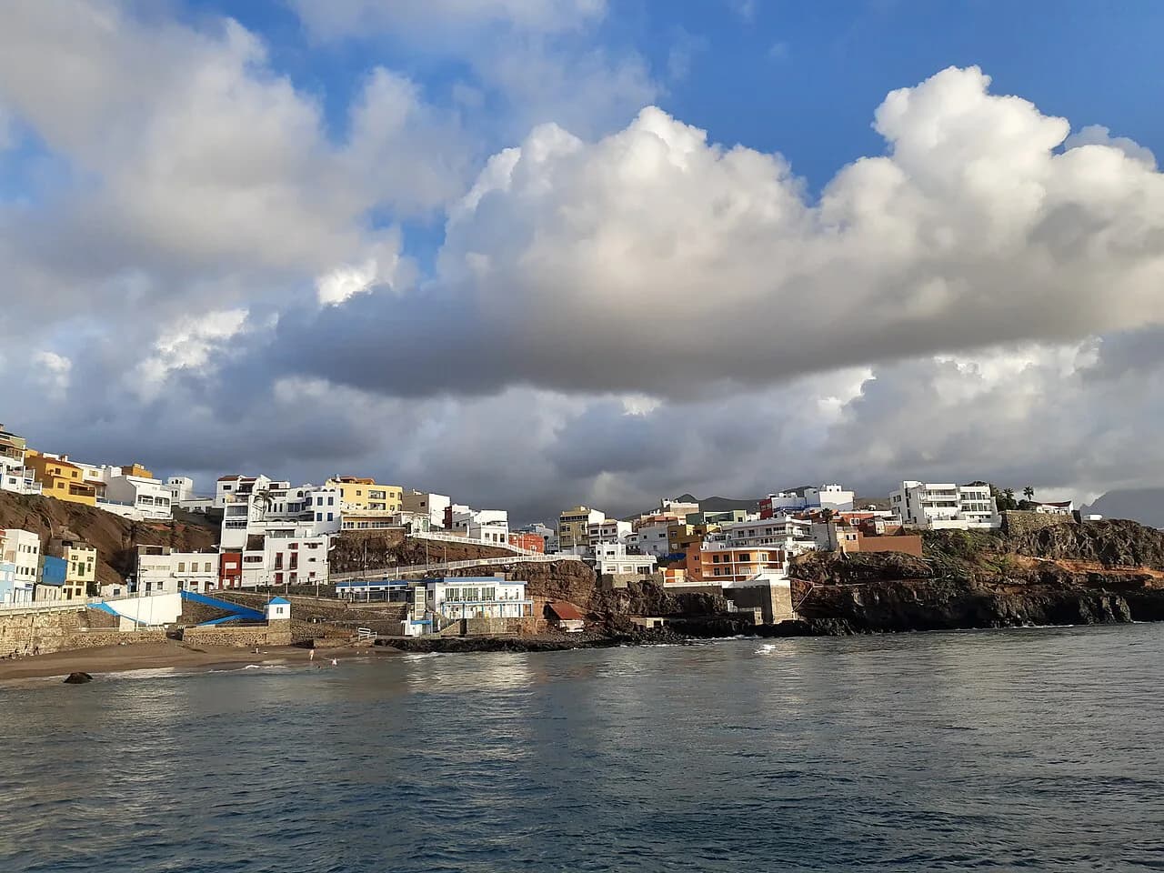
Sardina del Norte rewards travellers who want a working fishing harbour rather than a resort beach: a small quay, a stone cove and green-blue water beneath the cliffs of Gáldar in north-west Gran Canaria. It suits confident swimmers, snorkellers and anyone content to swap soft sand for pebbles and rock pools.
The bay sits between greenhouses and banana plantations on one of the island's least developed stretches of coast, so the appeal is scenery and quiet rather than sunbed rows. Pack reef shoes, a mask and something windproof, because this is an exposed Atlantic shoreline.
Where Sardina del Norte sits
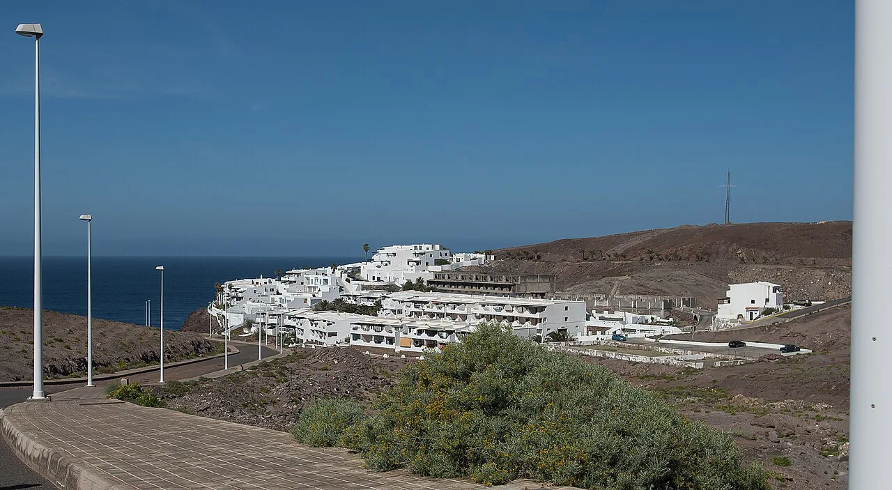
Sardina del Norte belongs to the municipality of Gáldar, on the far north-west coast of Gran Canaria. Gáldar spreads from this cliff-lined shore up to the heights of the Montañón Negro natural monument, so the beach is part of a wider half-day out rather than a standalone strip.
The coast around the village is deliberately undeveloped, with hidden corners tucked between cliffs. Out on the last ridge of the north coast stands the red-and-white Punta Sardina lighthouse, a few kilometres from the village and a popular spot at sunset.
Getting there from Las Palmas and the GC-2
From Las Palmas de Gran Canaria, take the northern GC-2 motorway towards Agaete. Leave at the slip road signposted for Gáldar, roughly 18 kilometres along, and follow the lane through the roundabout at its end towards Sardina del Norte.
Driving gives you the most flexibility, since the coast road runs through farmland and small settlements with little else between them. Plan the day as a loop with Gáldar town, which holds the Cueva Pintada museum and archaeological park in its centre.
Bus services and any parking charges around the harbour are handled locally; the Gáldar tourist office is the place to ask about current connections before you set out.
The sand and the water
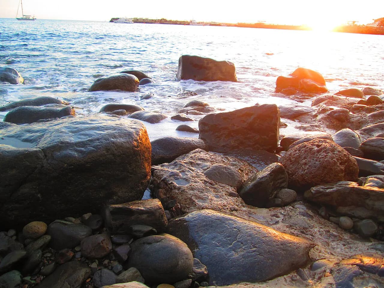
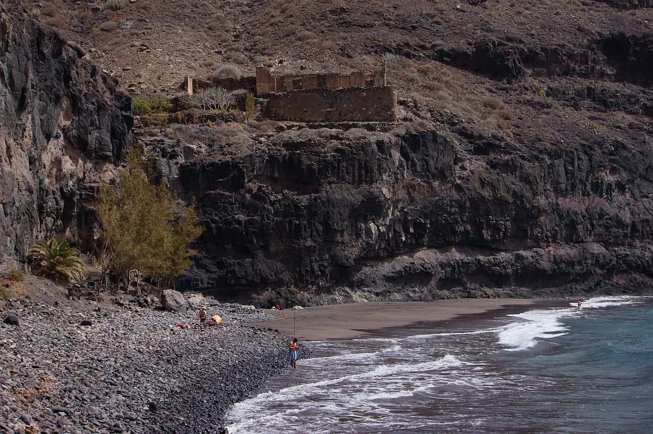
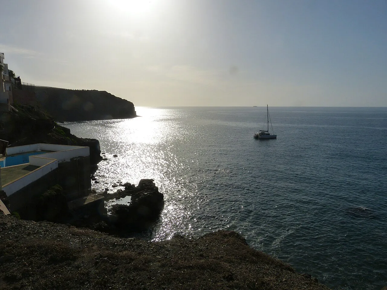
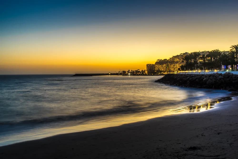
This is not a sand beach in the southern sense: the cove beyond the harbour wall is made of stones and pebbles, described by visitors as a world away from the island's sandy south. Expect a firm, uneven surface underfoot and bring shoes you can swim in.
The water shows tones of green and blue and deepens off rocky ground rather than a gentle sand shelf, so entry takes a little care. Swimmers comfortable with that will find clear water in the bay.
The shoreline you can use on the day depends on the Atlantic. The north coast is frequently swept by the trade winds and a strong swell, so treat the harbour side as the more sheltered starting point and read conditions from the quay before committing.
The harbour, the Roquete cove and the tidal pools
The old harbour is the heart of the village: a small fishing port that once shipped sugar and other produce from the island's north coast. Walk along the promenade with the quay wall on your left to reach the pebble cove presided over by El Roquete, a dwelling cut into the rock.
Along this stretch, low tide exposes hidden saltwater pools ready for a quick dip, and some are large enough to swim in. Time your visit towards low water if the pools are a priority, and keep an eye on the returning tide.
Beyond the harbour, the village's shoreline also includes the Roqueta beach and the Barranquillo del Vino, where people bathe.
Snorkelling and diving over the rocky bottom
The rocky seabed is the reason divers rate this bay. Octopus, Canary lobster, sea cucumbers and seahorses live in its depths, and toadfish, mantelinas, John Dory and small angelsharks appear over the sandy patches.
Snorkellers get the most from the rocks close to the harbour walls and around the cove, where the bottom is within easy reach. A short wetsuit helps on cooler days, and a mask with a good seal makes more difference here than fins.
Shelter, swell and the trade winds
The north coast is exposed, and the tourism board describes this stretch as frequently hit by the trade winds and heavy swell. The quay wall and the harbour give the most protection when the wind is up; the outer rocks and the lighthouse headland take the brunt.
If the swell is running, the tidal pools and the harbour-side water are the sensible option, and a windbreak earns its place on the pebbles. Otherwise, head south. The Gran Canaria beaches guide covers the sheltered southern strips, and Playa del Inglés is the straightforward sandy alternative when the north turns rough. For a quieter island comparison, the La Palma beaches guide shows how another Canary coast handles black sand and exposed Atlantic bays.
Facilities around the harbour
Sardina works as a village beach rather than a served resort beach. The fishing harbour, the promenade and the lanes behind it are where you will find the everyday life of the place, and the village itself provides the setting for a meal or a drink after your swim.
Bring what you need for a pebble beach: water, shade and footwear. The tourist board describes the harbour as still keeping its charm as a fishing beach and port, which is the best guide to what to expect.
Best time to go
The trade winds blow most reliably through the summer months, which keeps the north coast cooler than the south but also stirs up the sea. The swell is a year-round feature of this shore, and spring and autumn often bring the cleanest conditions between weather systems.
Aim for a calm morning when the wind tends to be lighter, and check the marine forecast for the north-west coast before you go. If the pools are part of the plan, schedule around low tide.
Nearby beaches and Gáldar town
Pair Sardina with Gáldar itself. The Cueva Pintada museum and archaeological park sits in the town centre, in the heart of what was the indigenous capital of Gran Canaria, and makes a good counterpoint to a morning on the rocks.
Further inland, the Monte Pavón recreation area and the viewpoints over the Caldera de Los Pinos de Gáldar reward a drive up from the coast. On the coast itself, the lighthouse at Punta Sardina is the obvious second stop.
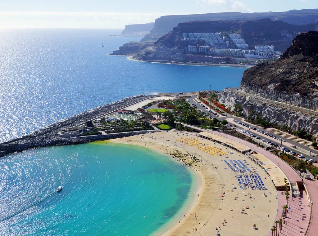
For a different day entirely, cross to the south and compare. Las Canteras is the city beach in Las Palmas, while Amadores beach near Puerto Rico offers calm, sandy swimming in the south-west.
Practical points for families and weaker swimmers
Families with small children will find the pebbles awkward and the rocky entry unhelpful, and the exposed swell makes supervision essential. The pools at low tide are the friendliest option for children who want to paddle.
Weaker swimmers should stay close to the harbour wall and avoid the outer rocks when the swell is up. Non-swimmers can enjoy the promenade, the harbour and the lighthouse just as well.
Plan Your Visit
Sardina del Norte gives you a working harbour, a stone cove and salt pools in one short stretch of Gáldar's coast, with the lighthouse and the Cueva Pintada rounding out the day. Go with reef shoes, a mask and a weather eye, and you will see the north coast at its most honest.
The Gáldar tourist office can help with current bus connections and local conditions before you set out.
Frequently Asked Questions
Where is Sardina del Norte on Gran Canaria?
It is a small fishing village on the north-west coast of Gran Canaria, in the municipality of Gáldar. The bay sits between cliffs below the town, with the Punta Sardina lighthouse a few kilometres along the coast.
How do you get to Sardina del Norte from Las Palmas?
Take the GC-2 motorway north towards Agaete and leave at the slip road for Gáldar, roughly 18 kilometres from the city. From the roundabout at the end of the slip road, follow the signs to Sardina del Norte. Ask the Gáldar tourist office about local bus connections.
Is Sardina del Norte a sandy beach?
No. The cove beyond the harbour wall is made of stones and pebbles rather than sand. Bring shoes you can walk and swim in, and a mat or towel for comfort on the stones.
Can you snorkel at Sardina del Norte?
Yes. The rocky seabed close to the harbour and around the cove holds octopus, lobster, seahorses and small fish. Snorkel near the harbour walls, and stay out of the water when the swell is running.
What is there to see near Sardina del Norte?
The Punta Sardina lighthouse is a short drive away, and the Cueva Pintada museum and archaeological park in Gáldar town covers the island's pre-Hispanic history. The Monte Pavón recreation area and the Caldera de Los Pinos viewpoints are further inland.
When is the best time to swim at Sardina del Norte?
Calmer mornings give the best conditions, with the trade winds picking up later in the day. Check the marine forecast for the north-west coast, and time a visit to low tide if you want to use the salt pools.
Sources
Beach notes for your next trip
Optional updates when we add or revise beach guides.
You might also like
Continue reading
More guides you'll find useful