Güigüí Beach, Gran Canaria: Boat and Hike Guide
Reach Güigüí on Gran Canaria's west coast by boat from La Aldea or on foot from Tasartico, with detail on the pass, the two coves and what to carry in.
On this page
Güigüí rewards the kind of traveller who counts the journey as part of the day: a dark volcanic beach folded into cliffs on Gran Canaria's west coast, with no buildings on the sand and two coves to choose between. It suits fit walkers, boat-trippers and anyone who values an empty shoreline over a sunbed. It does not suit a family wanting a lido, a bar and a short walk from the car.
The bay lies inside a Special Nature Reserve in the municipality of La Aldea de San Nicolás, and that protection is exactly why it feels remote. Everything you need for the day travels in with you. If you are weighing it against the island's easier sands, our guide to the [Gran Canaria beaches](/gran-canaria-beach-guide) sets out what the south-coast alternatives offer.
Why Güigüí is worth the effort
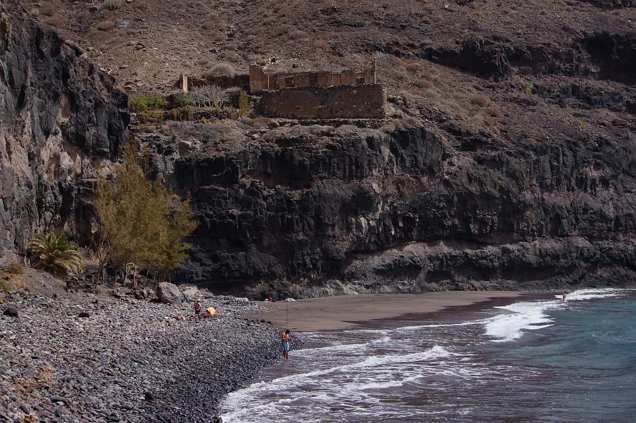
This is a wild Atlantic cove of black volcanic sand, backed by cliffs and arid scrub rather than promenade. The appeal is the setting and the swim, not services: you come for a few hours of quiet and go back the same way you arrived. Walkers who want a full day out should plan the crossing around the walk, not the other way round.
It best suits confident hikers, boat passengers who want a remote landing, and swimmers comfortable with an exposed ocean coast. Small children and anyone with limited mobility will find neither route easy. The reserve has no bars, kiosks, lifeguards or mobile signal, so prepare for every need before you set off.
Where Güigüí sits within the reserve
Access is deliberately limited to two modes: on foot from the hamlet of Tasartico, or by sea from the west and south-west harbours. There is no road down to the sand, so the decision you make is between a strenuous walk and a boat ride whose timing depends on the sea.
Getting there by boat: departure points and how sea conditions shape schedules
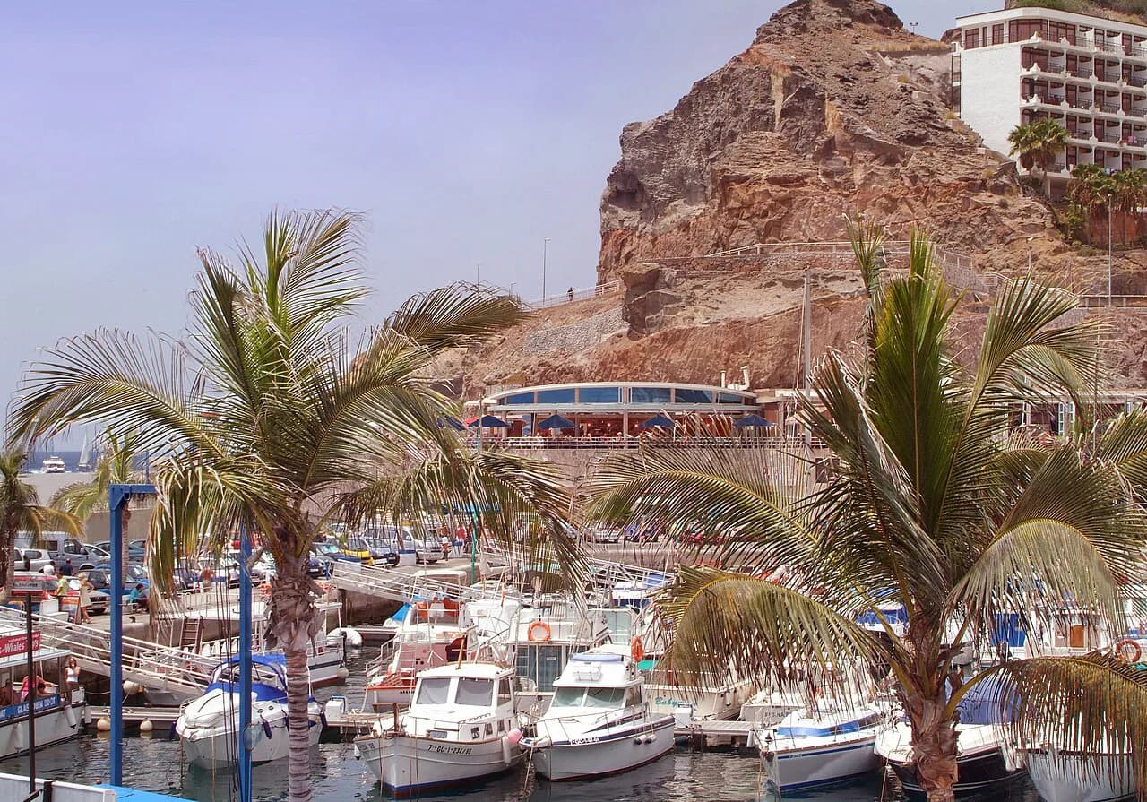
Boats run from La Aldea, Tasarte, Puerto de Mogán and Puerto Rico, tracing the south-west coast to the bay. Boat-taxi services and organised excursions both make the run, so you can choose between a straightforward transfer and a longer day on the water.
Schedules are not fixed: the boat skipper decides on the day whether the swell allows a landing, and winter brings heavier seas that cut departures. Build flexibility into your plans and keep a land-based alternative in reserve. A boat trip is also the sensible choice in high summer, when the walk's exposure makes a midday crossing punishing.
Hiking in from Tasartico: the climb to Degollada de Aguas Sabinas and the descent
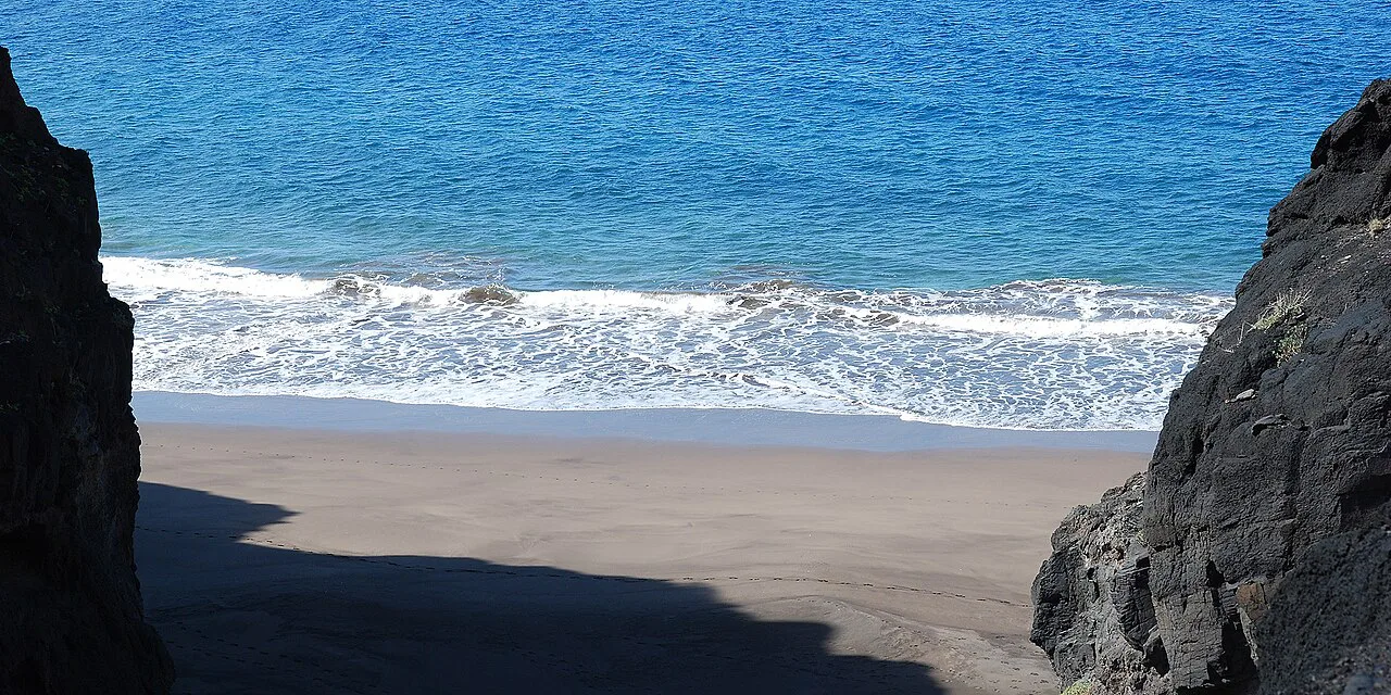
The walk from Tasartico is roughly five kilometres out and back, climbing to the Degollada de Aguas Sabinas pass at 546 metres before dropping to the shore. The first section gains the height, and the descent to sea level follows the ravine. Signposting is good, but the elevation change is the part that decides whether the day works for you.
The trail is exposed, so a hat, sun cream and more water than feels necessary belong in your pack. Sturdy footwear matters on the loose descent, and trekking poles help on the way back up. On clear days the horizon can stretch as far as Mount Teide.
How strenuous the walk is and what the terrain demands
Recorded routes put the direct line from Garcia Moreno at about 9.4 kilometres with some 860 metres of climbing, taking around five hours and graded hard. The longer version from Blue Ocean Camp covers about 14.6 kilometres and 1,010 metres. Treat those figures as the honest cost of the day.
If a five-hour round trip with a serious climb sounds too much, the boat is not a compromise but the better plan. The routes are graded hard, requiring very good fitness and sure-footedness, so leave a margin for heat and rest stops.
Güigüí Grande and Güigüí Chico: the two coves and how they differ
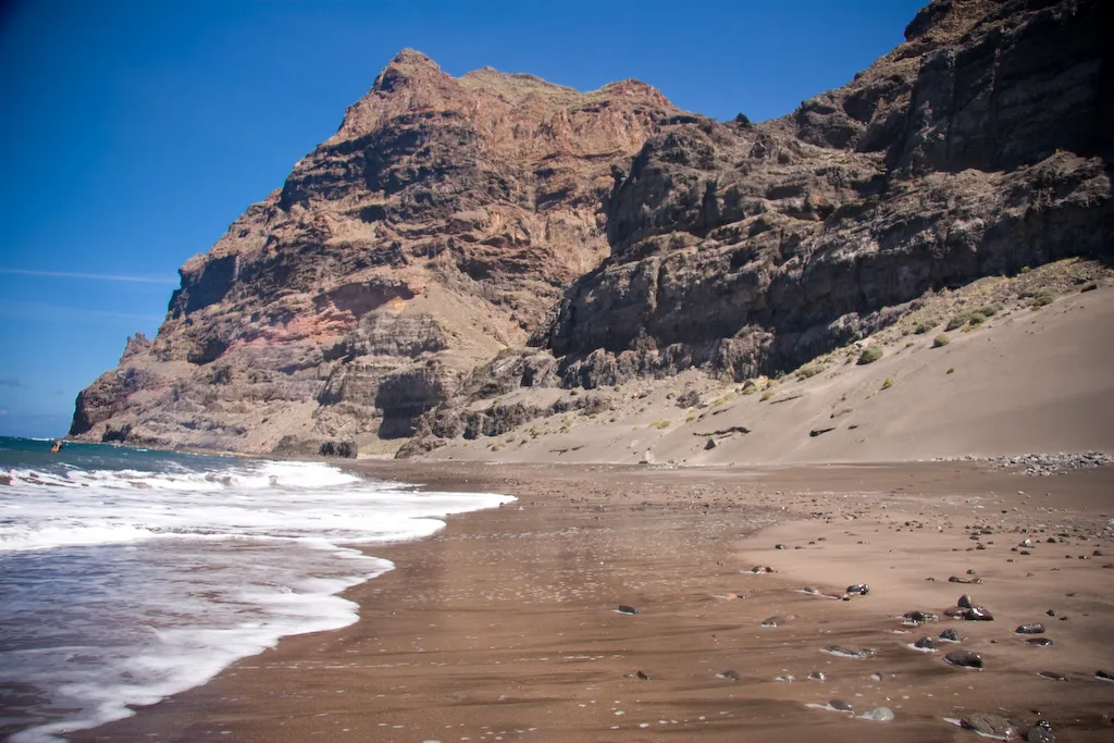
Güigüí Grande is the larger sweep of sand, while Güigüí Chico is smaller and slightly more sheltered. Both are accessible from the same bay and share the same wild, unbuilt character. If you arrive by boat, ask the skipper which cove the landing serves and where the pickup happens, since the two are separated by rock.
The sand and the water
The sand is black, coloured by volcanic ash, and it meets a bright Atlantic that is completely undeveloped along this stretch. Shelter comes from the cliffs that ring the bay rather than from any built structure.
Shade is scarce on the sand, so bring your own umbrella or shelter and set up near the cliff line where the beach gives some shadow. The bay is small enough that you can see most of it from one spot, which makes it easy to keep track of a group.
What to bring and carry out: water, food, shade, sun protection
There are no fountains or supply points, so carry in all your food and drinking water along with sun protection and your own shade. Take everything back out with you and stay on the established paths through the reserve. This is planning information, not a warning: the beach is simply unserviced.
Mobile coverage is unreliable in the reserve, so download an offline map and tell someone at your accommodation where you are going and when you expect to return. A small first-aid kit and a charged power bank are worth the weight.
Best time to go: the April to October window and summer heat
The steadiest window runs from April to October, when the weather is more settled and rain unlikely. July and August are hottest, especially around midday, and the walking route has no shade along its length.
Boat departures thin out in winter as swells build, so a winter visit may hinge on a single window of calm sea. If Güigüí is the centrepiece of your trip, aim for late spring or early autumn. Either way, check current departure times with the boat company the day before.
Combining Güigüí with the west-coast road and southern resorts
Southern resorts such as Meloneras, Maspalomas and Playa del Inglés make a practical base for a Güigüí day, with easy roads to La Aldea or Mogán for the boat. Staying south keeps the remote day separate from the restful ones, so tired legs recover. For a base that blends town coast with dune-backed sands, compare the beaches in Corralejo on Fuerteventura. For the practical details, see the Playa del Ingles.
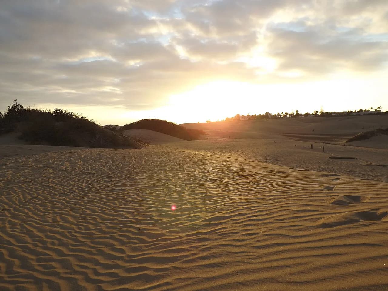
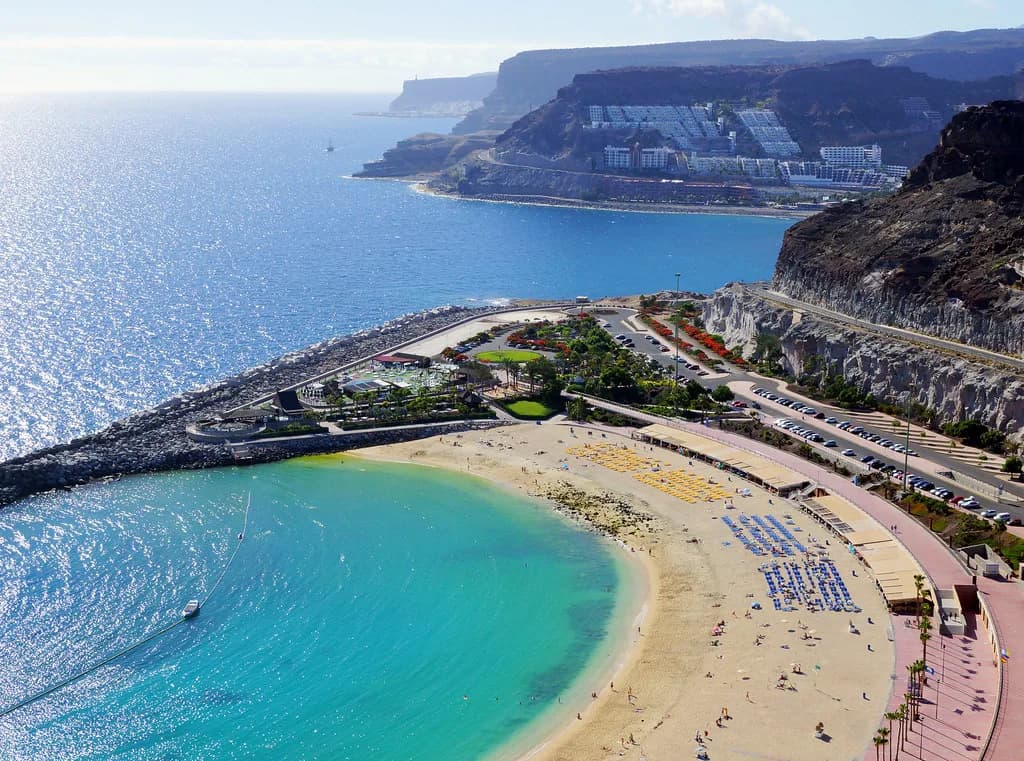
For a gentler day after the hike, the sheltered bay at [Amadores beach](/amadores-beach) near Puerto Rico is a straightforward alternative, and the dunes at [Maspalomas](/maspalomas-dunes) give you a completely different landscape. Both are easy to reach by road from the southern resorts.
Plan Your Visit
Pack water, food, shade and sun protection, tell someone your plan, and check departure times with your boat operator before you travel. Aim for the April to October window for the best odds of a calm crossing and a comfortable walk.
Frequently Asked Questions
Can you drive to Güigüí beach?
No. There is no road down to the sand; the two ways in are on foot from Tasartico or by boat from the west and south-west harbours. Plan your day around one of those routes and carry everything you need.
How long is the hike to Güigüí beach?
The direct route from Garcia Moreno runs about 9.4 kilometres with roughly 860 metres of ascent and takes around five hours, graded hard. A longer version from Blue Ocean Camp covers 14.6 kilometres and about 1,010 metres of climbing. Both need very good fitness and sure-footedness.
Can you get to Güigüí beach by boat?
Yes. Boat taxis and excursions leave from La Aldea, Tasarte, Puerto de Mogán and Puerto Rico and land you in the bay. Schedules depend on sea conditions, so book with an operator and confirm your departure the day before you go.
What is the difference between Güigüí Grande and Güigüí Chico?
Güigüí Grande is the larger sweep of sand, while Güigüí Chico is smaller and slightly more sheltered. Both are reached from the same bay and have no facilities. Ask your skipper which cove the landing serves if you arrive by boat.
When is the best time to visit Güigüí beach?
April to October gives the most stable weather and the least rain, with spring and autumn easiest for walking. July and August are hottest, so start early or take a boat. Winter swells can reduce boat departures, so build in flexibility.
Sources
Beach notes for your next trip
Optional updates when we add or revise beach guides.
You might also like
Continue reading
More guides you'll find useful