Calblanque Beaches: Which Cove to Pick and How to Get There
Calblanque's beaches run from wide blonde sand to small rocky coves. See how to reach them, where to walk, and which cove suits families or quiet swimmers.
On this page
Calblanque is the stretch of protected coast where Murcia still looks the way much of the Mediterranean did before the apartment blocks arrived: long blonde sand, low scrub, bare hills and a handful of rocky inlets tucked between headlands. It suits walkers, families who don't mind carrying their kit a short way, and swimmers happy to trade a beach bar for space.
The park sits on the Mediterranean coast of the Region of Murcia, south-east of Cartagena and east of the Mar Menor. Its beaches are spread along several kilometres of shoreline, so the cove you choose shapes the walk, the shade and how much sand you share with others. Plan the day around paths and foot access rather than kerbside parking.
Where Calblanque is and how the park is laid out
Calblanque Regional Park occupies a coastal band of the Cartagena municipality, with the village of Los Belones as the nearest practical base for shops and supplies. The park runs from the flatter ground near the salt flats up to the hills of the Cabezo de la Fuente and Peña del Águila, with the beaches strung out below the coastal path.
The named beaches in the park include Playa de Calblanque, Cala de los Déntoles, which is also known locally as Cala Dorada, plus Cala Arturo, Cala del Barco and Cala Magre. The main sand is a broad, continuous sweep; the smaller inlets sit at the ends of short paths or below rocky ground. That difference is what you plan around: one beach for a whole lazy day, several coves for a walk.
Treat the whole area as one excursion rather than a sequence of stops you can drive between. Distances are short in kilometres but exposed in the middle of the day, and the coastal path is the link. Decide in advance whether you want a single base on the sand or a linear walk with a swim at each end.
Getting there: driving, parking and walking in
Drivers approach from the RM-12 or the N-332 near Los Belones, then follow the signed road towards the park. The paved road gives way to a controlled approach in the main summer period, with visitors transferring to shuttle transport for the last stretch to the main beach. The regional tourism board publishes access arrangements for its beaches, and the park itself sits within Cartagena's municipality.
Rather than guessing at parking fees or shuttle timetables, build your day around the walk-in. Arrive early in high season, carry water and sun cover for the path, and accept that the last section to the sand is done on foot. If you are travelling without a car, the tourist office in Cartagena is the practical place to ask which operators run day trips that season.
The approach roads and the park boundary are shown on mapping services, which is the simplest way to plan a route from your base before setting out.
Park and ride access and the boardwalks
The main beach is reached on foot from the transfer point, and wooden boardwalks carry walkers over the coastal grassland so the dunes are not trampled. Visitors describe them as the standard way across to the sand, and they are also the easiest route if you have a pushchair or a cool box.
Because the walk-in adds time at both ends of the day, pack light and sensibly: a proper sun hat, refillable water and a bag you can carry across soft sand. The regional tourism board promotes its wilder beaches for exactly this kind of self-sufficient day out, with walkways and adapted facilities at the family-friendly and accessible end of the spectrum. Check what is operating during your dates with the Cartagena tourist office before you rely on a lift to the sand.
Playa de Calblanque: the wide blonde sand
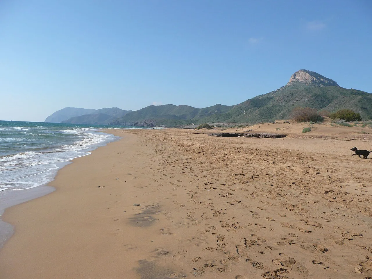
Playa de Calblanque is the big, open beach of the park, a long blonde sand shelf backed by low dunes and scrub. The water shelves gradually, which is what makes it the natural choice for families with small children and for anyone who wants to swim rather than perch on a rock. Expect company in July and August along the boardwalk entrance, and a rapid thinning of crowds the further you walk along the sand.
There is little natural shade on the open sand, so the back of the beach where the scrub begins is where you find relief on a hot afternoon. Bring an umbrella if you plan to stay past midday.
Cala de los Déntoles (Cala Dorada) and the smaller coves
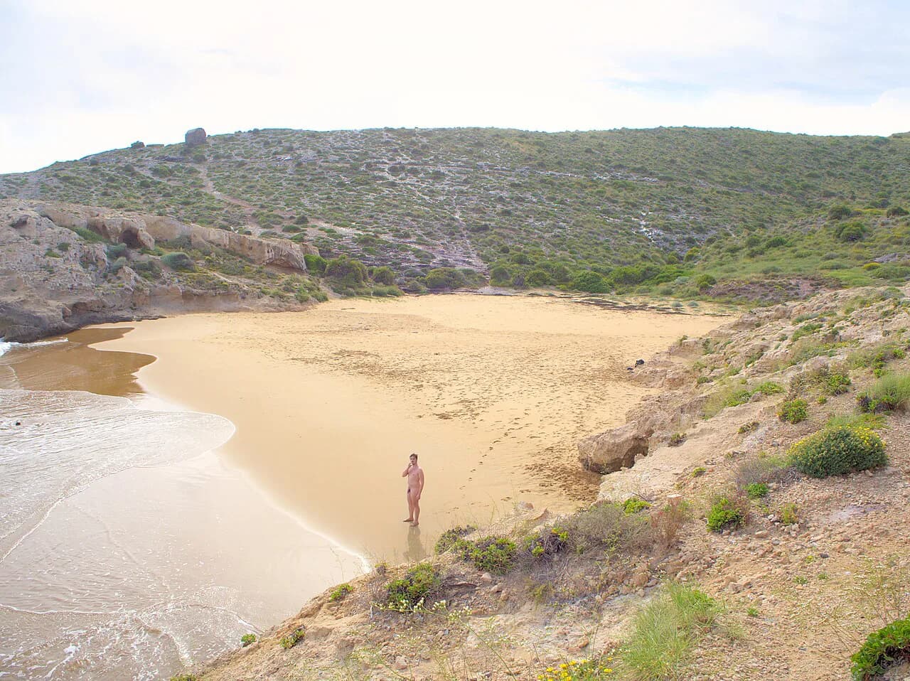
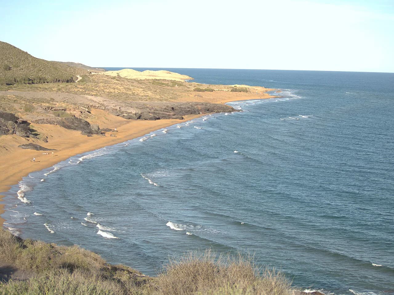
Cala de los Déntoles, often signposted and spoken of as Cala Dorada, is the best-known of the small inlets on this coast, and the park listing names it alongside Cala Arturo, Cala del Barco and Cala Magre as the coves that make up the Calblanque shoreline. These are intimate spots, rocky in places, and better suited to strong swimmers and snorkellers than to a family with buckets and a parasol.
Because the coves are reached on foot, the further ones tend to stay quiet even in August. If you want solitude, choose a cove beyond the main beach and walk in with everything you need, then plan your return before the light goes.
Walking the coastal path between beaches
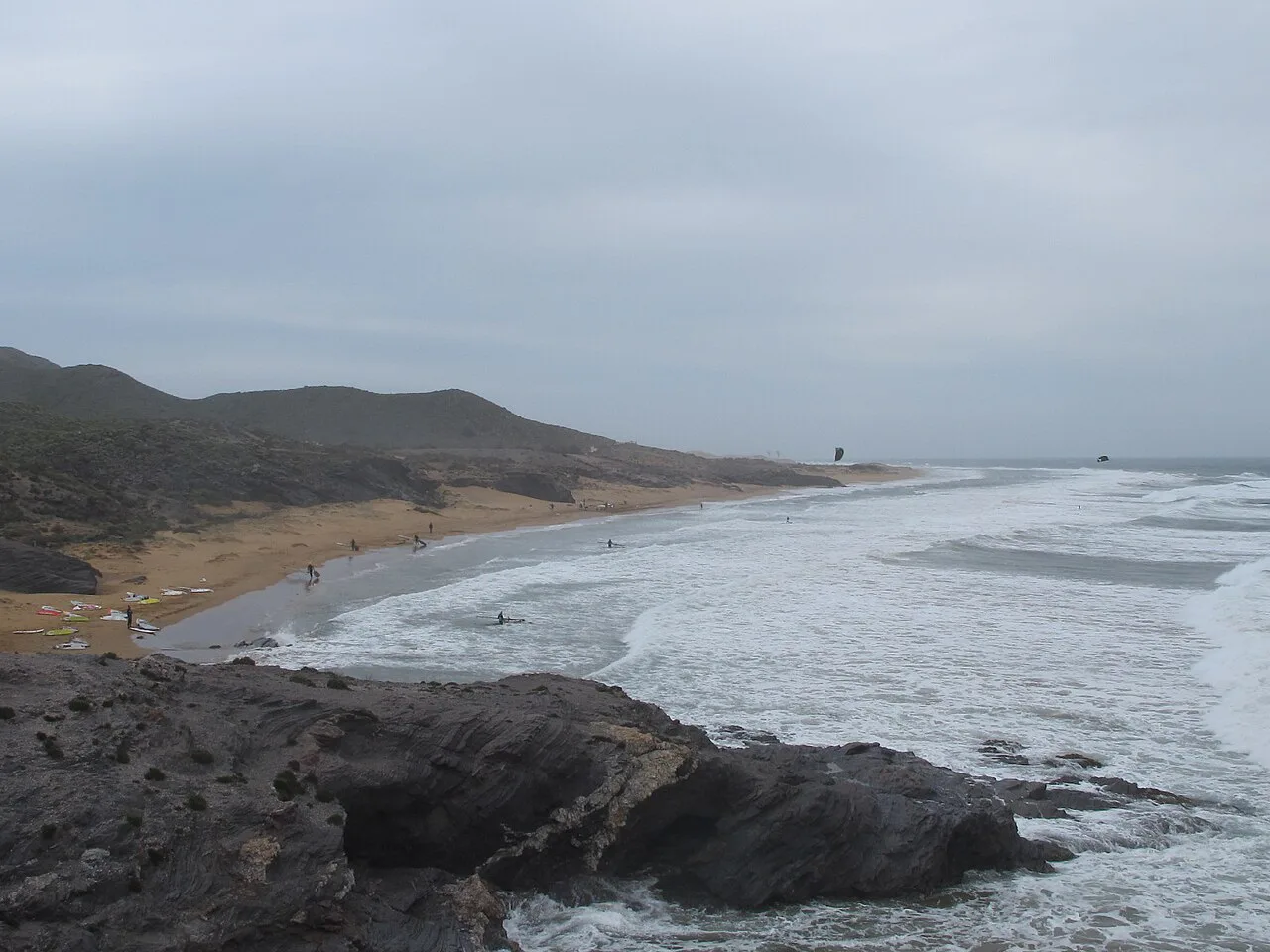
The coastal path is the thread that ties the park together, running above and between the beaches with views back along the cliffs and out to sea. Short hops between the main sand and the nearest cove are easy; a full traverse with a bag and a cool box is a proper walk. Build in more time than the map suggests, because the heat and the soft ground slow the pace.
Carry water for the whole route and wear shoes rather than flip-flops for the path sections. The regional tourism board's guidance for its wilder beaches is the same: bring what you need and take your waste back with you, because these are protected coves rather than serviced resorts.
Facilities: what to expect across the park
Calblanque is a regional park rather than a resort beach, so plan on carrying in food, water and shade. The regional tourism board's beach search tool filters the Region of Murcia's beaches by services, and the listings for Calblanque and its coves are the place to see what is registered for your dates, from access and walkways to lifeguard coverage. Check before you go if any of that is essential to your day.
For families, the region's dedicated children's beach pages and its family-friendly category are a useful cross-check on which stretches are promoted for shallow water and easy access. Use them together with the park map to pick your entrance point.
Best time to go: season, heat and how busy it gets
Calblanque's season runs from late spring into early autumn, with July and August the busiest and hottest. The park's beaches are at their most comfortable in June and September, when the sea is warm enough for long swims and the walk-in is less punishing. High summer demands an early start and a plan to leave the open sand by mid-afternoon.
The Region of Murcia averages around 20°C across the year and close to 300 days of sunshine, which is why the Costa Cálida's beaches are promoted for sun and sea across a long season. That same sunshine is what makes shade, water and timing the real planning decisions at Calblanque.
Nearby beaches to combine with a Calblanque day
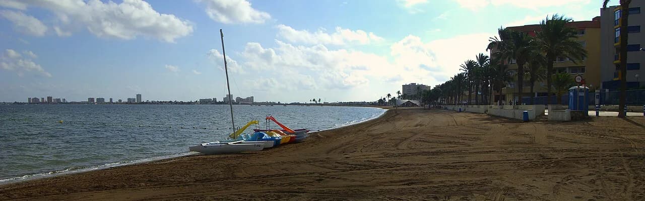
Portmán and the coastline around La Unión sit to the south-west, and the Mar Menor's calm, shallow water is within easy reach for a second, easier day. La Manga del Mar Menor, with its long sandbars and bigger resort infrastructure, is the obvious contrast to Calblanque's wilder shore.
To the west, Mazarrón's coast offers urban beaches, coves and the eroded sandstone of Bolnuevo, all better served by bars and parking than Calblanque. Combine the two for a trip that balances wild walking with an easy lunch by the water. If you are weighing up more than one stretch of this coastline, the Almería beaches guide covers the sands of Cabo de Gata and beyond for a further comparison.
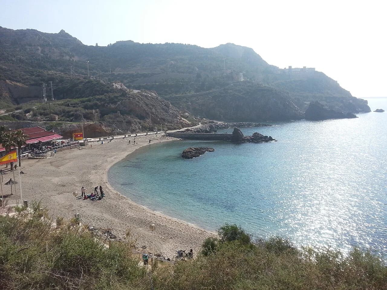
The city of Cartagena itself is the natural base, with its Roman heritage and harbour, and Cala Cortina is the city's own small beach for a quick dip without the walk-in. Use the city for supplies and a rainy-day plan, and the park for the beach day itself.
Plan Your Calblanque Day
Choose Playa de Calblanque if you want space, gradual water and a straightforward walk from the boardwalks. Head for Cala de los Déntoles or one of the smaller inlets if you swim well, want rock and quiet, and don't mind carrying everything in.
Whichever you pick, treat it as a walking day: arrive early, carry water and shade, and leave the coast as you found it. Confirm shuttle arrangements and any seasonal access changes with the Cartagena tourist office before you travel.
Frequently Asked Questions
Is there a beach at Calblanque?
Yes. Calblanque Regional Park holds a long main beach, Playa de Calblanque, plus several smaller coves such as Cala de los Déntoles, also called Cala Dorada, Cala Arturo, Cala del Barco and Cala Magre. They sit below the coastal path and are reached on foot.
How do you get to Calblanque beach?
Drive towards the park from Los Belones off the RM-12 or N-332 and expect to finish the journey on foot, with shuttle transfer to the main beach during the main summer period. Without a car, ask the Cartagena tourist office which operators run day trips in your season.
Are there facilities at Calblanque beaches?
It is a protected regional park rather than a resort strip, so carry in food, water and shade. The regional tourism board's beach search tool lists which services are registered for each beach and for your dates, so use it to see what is operating before an essentials-only day out.
Which Calblanque beach is best for families?
Playa de Calblanque is the natural pick: a long blonde sand shelf with a gradual approach into the water and boardwalks across the dunes to the sand. The smaller coves are rockier and better suited to swimmers and snorkellers.
What is the prettiest beach near Cartagena?
The Calblanque coves are the scenic draw, with Cala de los Déntoles, or Cala Dorada, the best known of the small inlets below the coastal path. Within the city itself, Cala Cortina offers a quick dip without the walk-in.
Sources
Beach notes for your next trip
Optional updates when we add or revise beach guides.
You might also like
Continue reading
More guides you'll find useful