Playa de los Alemanes, Tarifa: A Guide to Cabo de Plata
Plan a day at Playa de los Alemanes by Zahara de los Atunes: 1,500 metres of fine golden sand, moderate swell and access on foot or by car.
On this page
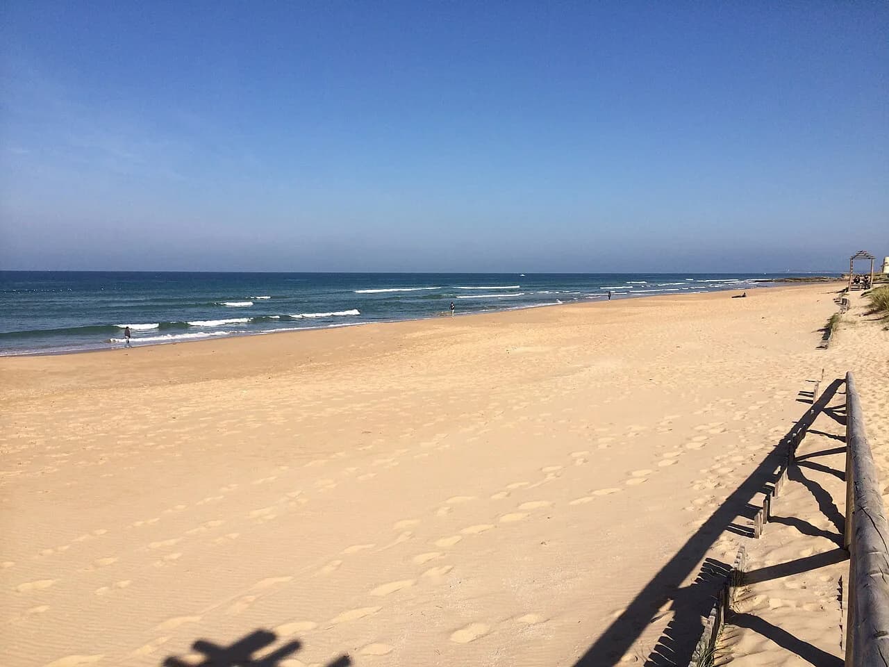
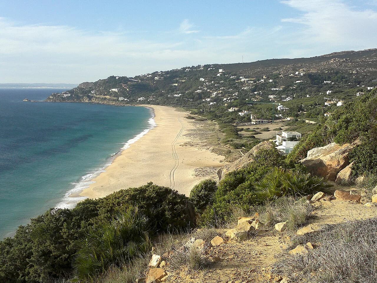
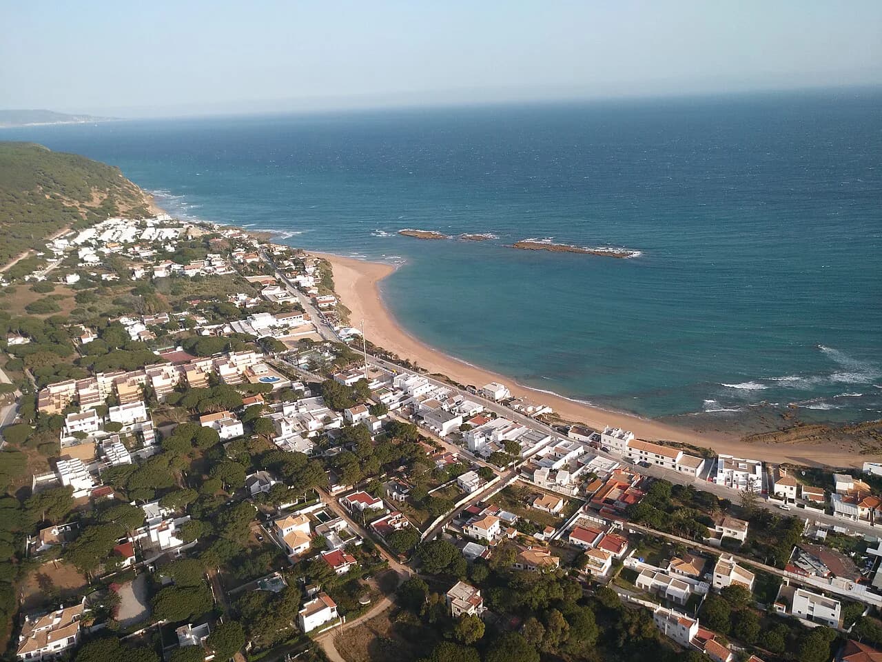
Playa de los Alemanes rewards anyone willing to walk a little further than the car parks of neighbouring Atlanterra. The beach runs for roughly 1,500 metres between Cabo de Plata and Cabo de Gracia, with fine golden sand and a breezy, moderate swell that keeps it feeling wilder than the resort strips along this coast.
It is a beach for long barefoot walks, for swimmers who like a little movement in the water, and for travellers who would rather carry their own shade and water than queue for a sunbed. Families with small children should read the conditions on the day before settling in.
Where Playa de los Alemanes sits
The beach lies in the municipality of Tarifa, in the Campo de Gibraltar comarca of Cádiz, but it sits beside the Atlanterra urbanización and is reached from Zahara de los Atunes rather than from Tarifa town. It occupies the shoreline between Cabo de Plata and Cabo de Gracia, which is where its alternative names come from.
Locals and regular visitors also call it Playa de Cabo de Plata or Playa de Agua en medio, so the three names on signs and maps all point to the same stretch of sand. If you are staying in Zahara de los Atunes, the beach is the next bay along the coast road towards Tarifa.
The sand and the water
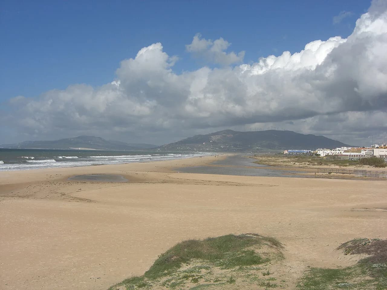
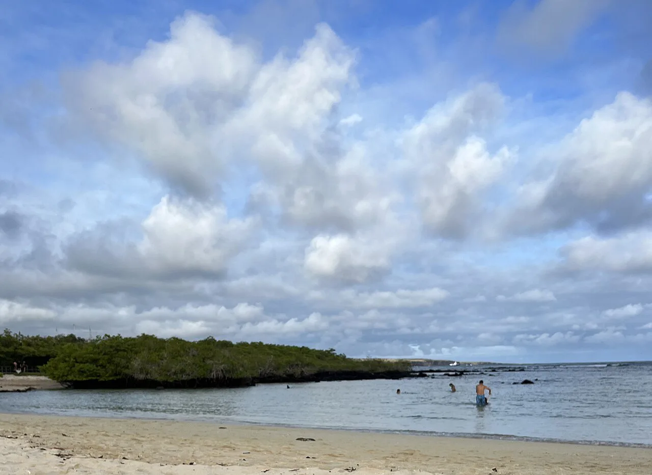
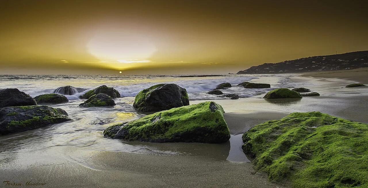
Expect a long, open beach of fine golden sand, averaging about 50 metres in width, with vegetation on the landward side and fragments of old dune system behind the sand. The scale is the point: this is a beach for a two-hour walk rather than a compact cove you cross in a minute.
Bathing conditions are described as moderate swell with a windy character, so the water is often livelier than on the more sheltered stretches near Zahara. The wind shapes the day more than almost anything else here, and it decides whether you want to sit low behind the vegetation or up near the access paths.
Getting there
Access is on foot or by car, and the beach is signposted from the approach roads. Drivers park in the informal areas behind the sand near the urbanización and walk down through the dune paths; there is no promenade running along the beach itself.
On foot, the most satisfying approach is the marked coastal route that links Playa de Zahara, Playa de Atlanterra and Playa de los Alemanes in a single 14.6 km walk with about 117 metres of climbing. Treat it as a half-day outing with proper shoes rather than a quick hop between beaches.
Because the beach belongs to Tarifa but sits next to Atlanterra, the practical base is Zahara de los Atunes or the Atlanterra apartments. Coming from Tarifa town means a much longer drive along the coast road, so plan the day around the western end of the municipality.
Wind and shelter
This coast lives with two winds, the levante from the east and the poniente from the west, and both are part of local beach lore around Zahara and Cabo de Plata. On a levante day the beach feels exposed and the sand moves; on a poniente day the air is softer but the Atlantic swell still rolls in.
For a calmer sit, head for the ends of the beach near the headlands, where the curve of the coast gives some lee, and pitch your spot low behind the vegetation rather than on the open middle. Bring a windbreak and something to weigh it down; pegging into sand is easier than fighting a flapping towel.
Swimming and who it suits
With moderate swell and a breezy character, the beach suits confident swimmers and adults who enjoy moving water, and it is excellent for walkers who want a long shoreline. It is not the place to assume mirror-flat shallows for toddlers, so watch the sets before deciding where to paddle.
Snorkellers should bring their own mask and fins and explore the rockier ground towards the headland ends, where the sand gives way to stone. For a gentler family day, the neighbouring beaches towards Zahara are the easier choice.
Facilities and safety
Official beach listings record lifeguard and rescue cover along with safety signage, and classify the beach as accessible with signposted access. They also describe it as semi-urban with low occupation and low building density, which matches the feel of a beach backed by scattered development rather than a resort front.
Beyond that, plan as if you were packing for a wild beach: bring water, shade, food and cash for anything you might pick up in Atlanterra. The beach has no promenade, so once you are settled on the sand, a forgotten item means a walk back up the dune paths.
How busy it gets
Even in summer the beach stays relatively uncrowded, partly because it lies away from the main population centres and partly because most visitors head for the more popular Playa de Atlanterra next door. That makes it a good choice in August for anyone who wants space without giving up easy road access.
The trade-off is that the low-key feel comes with fewer services and a landscape shaped by years of paths worn through the dunes. Stay on the established tracks where you can, and carry out everything you bring in.
History and the name
The name comes from stories of Germans who settled around Cabo de Plata after the Second World War, a period when this stretch of coast was watched over by submarines and military traffic in the Strait of Gibraltar. Local tourism material links the area's later tourist development to German investors in the 1960s.
A documentary on the beach explored whether it formed part of a post-war escape route, and reported that three wealthy Nazi families lived on the slopes of the Sierra de Plata for decades. The escape-route theory remains legend rather than settled history, so treat the stories as context for the landscape, not as fact.
Best time to go
High summer brings the warmest sea of the year and the liveliest beach scene, with August the busiest month across this coast. June and September give you warm water with shorter queues on the coast road; the shoulder months are best for the long coastal walk, when the heat is kinder.
Whatever the month, mornings tend to be calmer on the sand and the wind usually builds through the afternoon. If you are walking the full Zahara to Los Alemanes route, start early enough to finish before the strongest breeze picks up.
Nearby beaches to combine
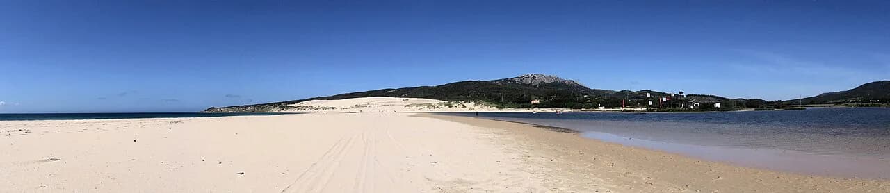
Playa de Atlanterra and the long Playa de Zahara sit either side of this stretch and make easy pairings, with the marked trail linking all three. Further along the coast towards Tarifa, Playa de Bolonia and Los Lances beach offer very different days out on the same Atlantic shore. If you are comparing this stretch with the sands further east, the beaches in Málaga show what a more developed Costa del Sol shoreline looks like.
If you are touring the Cádiz coast, El Palmar beach near Conil de la Frontera and Punta Paloma make useful stops on a drive west towards Tarifa, each with its own character and access.
Plan Your Day at Cabo de Plata
Treat Playa de los Alemanes as a bring-everything beach: water, shade, sturdy shoes for the dune paths and a windbreak for the afternoon breeze. Arrive by car from Zahara or Atlanterra, or walk in on the coastal trail, and you will have one of the emptiest long beaches on this part of the coast.
For the rest of the region, compare it with the Tarifa beaches guide and pick a base that keeps the drive short.
Frequently Asked Questions
Where is Playa de los Alemanes?
It lies in Tarifa municipality in Cádiz, between Cabo de Plata and Cabo de Gracia, beside the Atlanterra urbanización and reached from Zahara de los Atunes rather than from Tarifa town. It is also known as Playa de Cabo de Plata and Playa de Agua en medio.
How do you get to Playa de los Alemanes?
Access is on foot or by car, with signposted routes and parking areas behind the beach near Atlanterra. Walkers can also arrive on the marked 14.6 km coastal route linking Playa de Zahara, Playa de Atlanterra and Playa de los Alemanes.
Is Playa de los Alemanes good for swimming?
Bathing conditions are described as moderate swell with a windy character, so it suits confident swimmers more than families wanting flat shallows. Watch the sets from the shore before you commit, and keep small children close.
Why is it called Playa de los Alemanes?
The name comes from stories of Germans who settled around Cabo de Plata after the Second World War, with local tourism material also linking German investors to the area's 1960s development. A documentary examined the beach as a possible post-war escape route, but the theory remains legend.
Is Playa de los Alemanes busy in summer?
It stays relatively uncrowded even in summer, partly because the neighbouring Playa de Atlanterra draws most visitors. August is the busiest month on this coast, and mornings are generally calmer on the sand than afternoons.
Is there lifeguard cover at Playa de los Alemanes?
Official beach listings record lifeguard and rescue cover along with safety signage, and classify the beach as accessible with signposted access. Check the flags and any local notices on the day before entering the water.
Which beaches are near Playa de los Alemanes?
Playa de Atlanterra and Playa de Zahara are the closest, and all three are linked by the coastal trail. Further towards Tarifa, Playa de Bolonia and Los Lances beach make good pairings for a longer trip.
Sources
Beach notes for your next trip
Optional updates when we add or revise beach guides.
You might also like
Continue reading
More guides you'll find useful