Isola delle Correnti, Sicily: Beach Guide from Noto
Plan a beach day at Isola delle Correnti, at Sicily's southern tip near Portopalo di Capo Passero, with practical advice on access, the water and nearby sands.
On this page
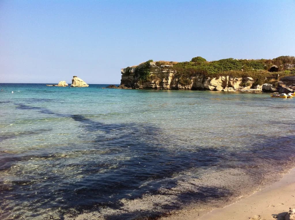
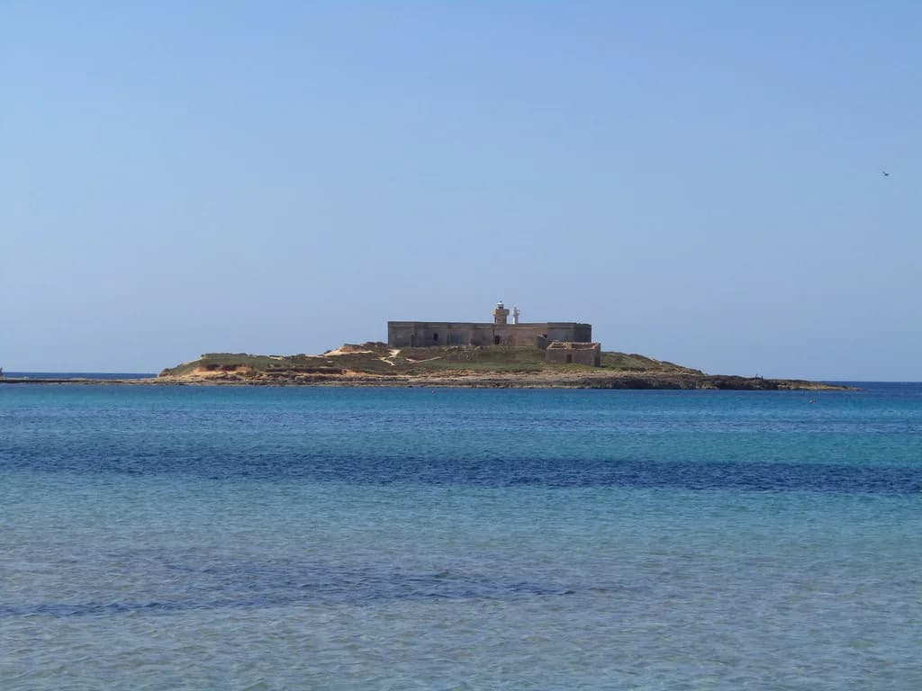
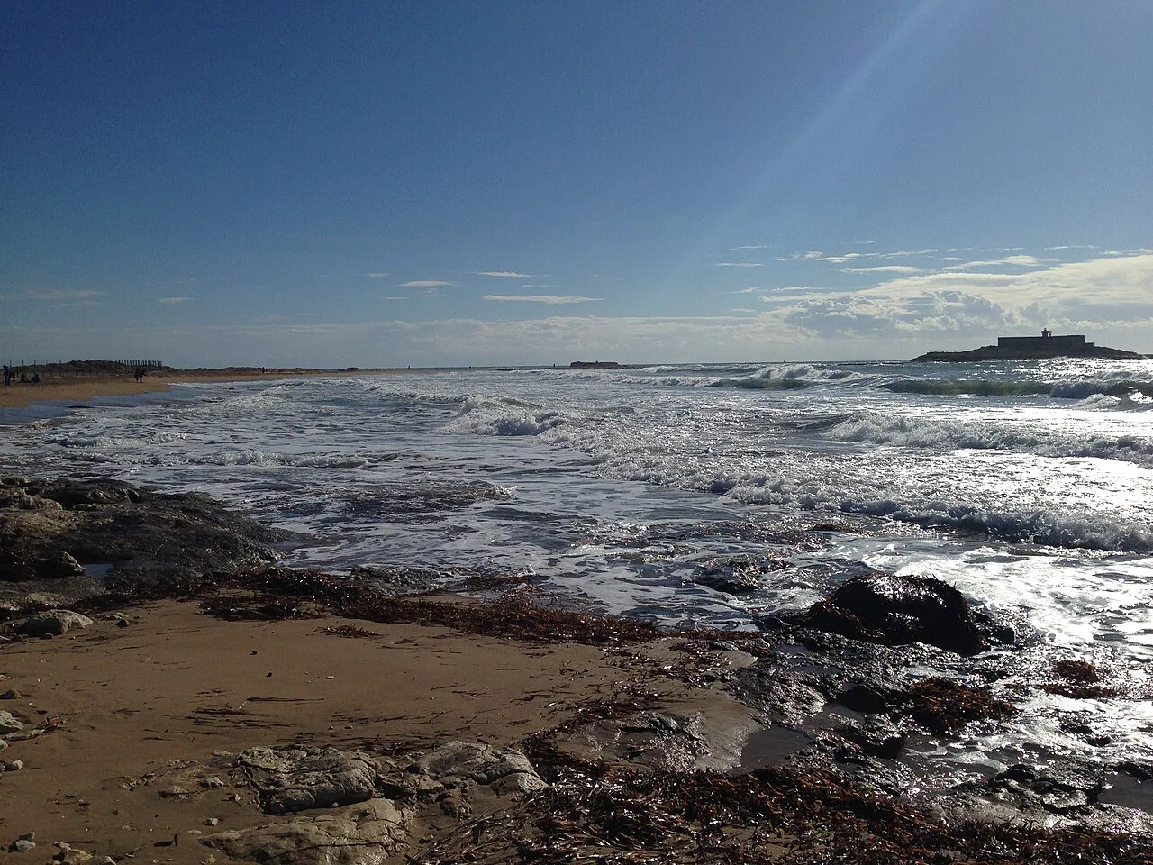
Isola delle Correnti is where Sicily runs out of land: a low, sandy tip south of Portopalo di Capo Passero, with a small island offshore and open water on three sides. It rewards travellers who want a sense of reaching the end of the map rather than a resort beach with a lido and a car park attendant. Swimmers who respect moving water and anyone driving the south-east coast will find it memorable.
The name means Island of the Currents, and the meeting of two seas at Italy's southernmost point gives the beach its character. Plan around that: choose your side of the tip for shelter, keep an eye on how the water is moving before you wade in, and treat the crossing to the island as a decision for confident swimmers only. This guide covers the drive from Noto, where to settle, and which nearby sands are worth adding.
Where the tip sits
The beach lies beyond Portopalo di Capo Passero, the last town on Sicily's south-eastern corner, roughly an hour and a quarter by road from Noto. The tip itself is a sandy isthmus with a small island just offshore, so the land narrows and the sea appears on both sides. Approaching through Pachino and then Portopalo, the landscape flattens into glasshouses and low coastal scrub before the road runs out at the water.
The reason to come is geography as much as sand: the waters around the tip are where the Ionian and Mediterranean systems meet, which is what gives the place its name. That meeting is why the water here can move with more purpose than on the sheltered bays up the coast. It shapes the day, so build your plan around a swim in the gentler hours and a walk to look at the island rather than hours of floating.
Getting there from Noto
By car, take the route through Pachino and on to Portopalo di Capo Passero, then follow signs for the tip. This is the realistic option: the final stretch is a coastal road with informal parking on the sand and verges, and you will want the car for combining the tip with Marzamemi or the reserve later in the day. Arrive in the morning in high season, when the informal parking near the tip fills with local and day-tripper cars.
Public transport from Noto is limited to what runs to Pachino and Portopalo, and you should not rely on a beach-hour service out to the tip itself. For a car-free south-east day, Fontane Bianche is the more workable choice, with direct trains from Noto station taking around 20 minutes and fares starting at about €3.30.
If you are staying in Syracuse rather than Noto, the same logic applies: a car is the straightforward way to reach the far south, and bus routes along the coast run on their own schedules. Treat the tip as a half-day outing by car and keep the rest of the day flexible. For beach options closer to Noto, see the Noto beaches guide.
The beach and the water
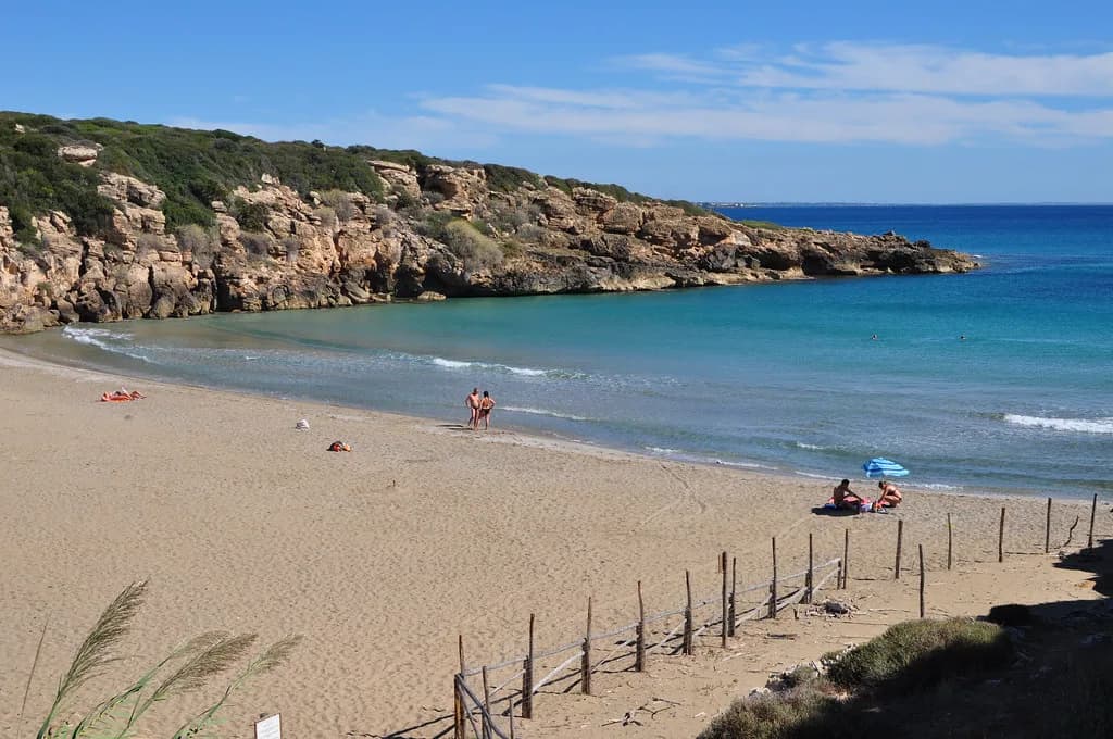
The beach is pale sand that narrows into the isthmus, with rock and shingle showing where the currents scour the seabed. The water shelves gradually on the beach side, which makes it manageable for wading, but the channel between the shore and the island is where the movement concentrates. Watch how the surface behaves for a few minutes before committing, and keep children within arm's reach at the edge.
Reaching the island means crossing that channel, and the currents that give the place its name make it a decision for strong, confident swimmers rather than a family outing. Most visitors are content to look across from the shore. Bring reef shoes if you plan to explore the rocks, where the footing is uneven.
The southern tip is exposed, so the sea is rarely glassy. On days when the wind is up, the water on the sheltered side of the isthmus is the more comfortable option, and the exposed side is best left for walking and photography. Ask locally which side is calmest on the day you visit, as conditions change with the wind direction.
Wind, shelter and where to settle
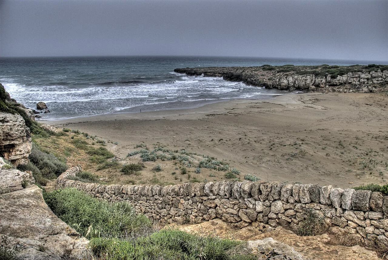
Choose your spot by the wind. When a breeze comes from the east or south-east, settle on the western, Portopalo-facing side of the isthmus, where the land gives some protection. When it blows from the west, the opposite side is calmer. Near the rocks at the base of the isthmus you will find pockets of shelter, and the low dunes behind the beach offer a windbreak on blustery days.
Natural shade is limited on the exposed sand, so bring a parasol and enough water for the hours you plan to stay. The sun at Italy's southern latitude is strong even in the shoulder months, and the walk out to the tip leaves little cover. Good shoes matter for the rocky sections and the informal paths.
Facilities and practicalities
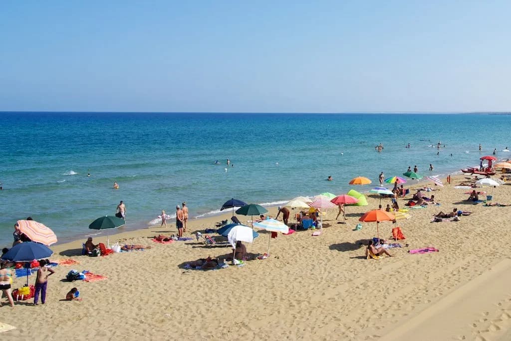
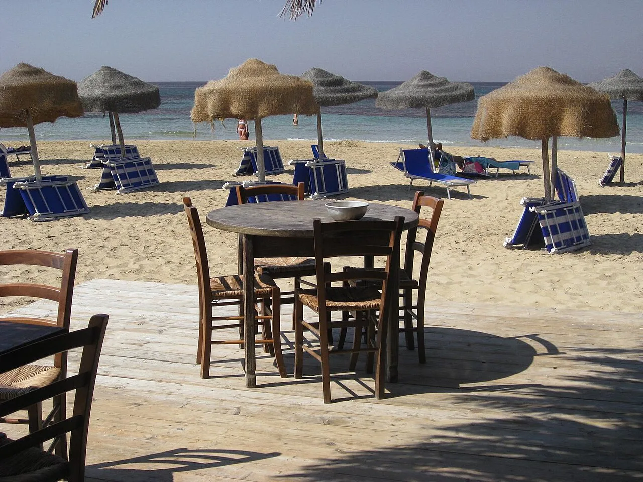
The sands at the tip are largely undeveloped, with no lido operation to speak of. Expect to carry in what you need and carry it out again. Portopalo di Capo Passero, a short drive back, has bars, restaurants and shops where you can stock up or eat after your swim.
The larger resort beaches along this coast work differently, with paid lidos and free sections side by side; at Fontane Bianche, one traveller paid €25 for a parasol and loungers after negotiating down from €30 for a few afternoon hours. If you want that level of comfort, base yourself at a serviced beach and treat the tip as a scenic detour.
Crowds and best time to go
The sea is at its warmest from July into September, and August is the busiest month, when Italian families head south. Mornings are quieter at the tip, with day-trippers arriving around midday. June and September give warm water with fewer people, and the light is softer for photographs of the island.
If you are in Sicily for the Infiorata di Noto, the festival usually falls around the third weekend of May, which coincides with pleasant walking weather and the start of the beach season rather than its peak. Tying a flower-festival visit to a beach day means a mix of Baroque streets in the morning and the coast in the afternoon.
Nearby beaches to combine
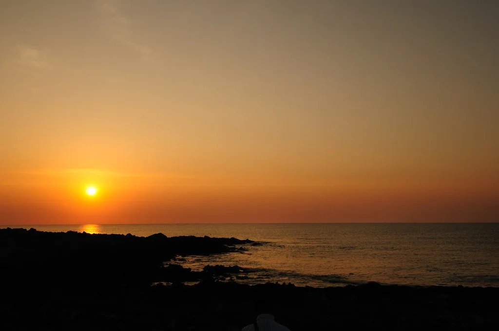
Marzamemi, a fishing village about ten minutes from San Lorenzo by car, is the natural lunch stop on a tip day: small, stylish and centred on a piazza by the water. Combine it with an afternoon at San Lorenzo if you want a serviced beach with lidos and clubs, and finish at the tip for the sunset. That makes a full loop with the car rather than separate outings. If you are weighing this corner of the island against the north coast, the beaches in Cefalù offer a contrasting mix of town sand and hidden coves.
North of Portopalo, the Vendicari Nature Reserve protects a 7-kilometre stretch of coast with beaches, dunes and saltwater lagoons. Entry costs €3.50 per adult, with parking charged separately, and there are no formal facilities on the reserve beaches, so bring water, food and a parasol. Calamosche beach is the most popular, and it needs an easy-ish 20-minute walk through scrubland from the car park, so allow time for the walk in the heat.
For a serviced alternative nearer Noto, Lido di Noto is about 15 minutes from the historic centre by car and has a long sandy beach with a mix of lidos and free sections, plus cafés and restaurants. A paid shuttle from central Noto usually runs in summer, though routes and dates change from year to year.
Who it suits
The tip suits confident swimmers, walkers and anyone who enjoys the drama of land's end, but it is not the place for a first family beach day. Families with small children are better off at Fontane Bianche, where the water is clear and shallow and the amenities are close at hand.
Snorkellers will find rock and shingle to explore around the isthmus, but the currents mean you should pick your moments and stay close to shore. Quiet-seekers should come early and walk a little away from the car park, where the sand opens out. For more options in the area, work through the Beaches Near Noto guide before you commit your day.
Plan Your Visit
Treat Isola delle Correnti as a half-day drive from Noto or Syracuse: arrive in the morning, settle on the sheltered side of the isthmus, keep the swim modest and use the rest of the day for Marzamemi or the Vendicari reserve. The tip is best for the sense of place and the view of the island offshore.
If you want a serviced beach with loungers and a bar, pick one of the lido beaches along this coast and visit the tip for an hour or two instead. For more options around Noto, start with the Noto beaches guide.
Frequently Asked Questions
Where is Isola delle Correnti?
It sits at the southernmost tip of Sicily, just beyond Portopalo di Capo Passero and about an hour and a quarter by road from Noto via Pachino. The beach is a sandy isthmus with a small island just offshore.
Why is it called Isola delle Correnti?
The name means Island of the Currents, after the meeting of the Ionian and Mediterranean waters around the tip. That meeting is why the water here moves more than on sheltered bays nearby, so choose your side of the isthmus with the wind in mind and swim within your comfort.
How do you get there from Noto?
A car via Pachino and Portopalo di Capo Passero is the practical option, with informal parking on the sand and verges near the tip. Public transport out to the tip is limited, so for a car-free beach day look at train services towards Fontane Bianche instead.
Is it good for swimming?
It is best for confident swimmers, especially around the isthmus, and the crossing to the island is a decision for strong swimmers. Families with small children will find calmer, shallower conditions at Fontane Bianche. Watch how the water is moving before you go in.
Which beaches are near Isola delle Correnti?
Marzamemi is about ten minutes from San Lorenzo by car and makes a good lunch stop, while the Vendicari Nature Reserve to the north has beaches, dunes and lagoons with paid entry. Lido di Noto is the closest serviced option to Noto itself.
Sources
Beach notes for your next trip
Optional updates when we add or revise beach guides.
You might also like
Continue reading
More guides you'll find useful